标签:ons failed dex https erro cat arcgis handler str
<!DOCTYPE html>
<html>
<head>
<meta charset="utf-8">
<meta name="viewport" content="initial-scale=1,maximum-scale=1,user-scalable=no">
<title>Query features from a FeatureLayerView - 4.10</title>
<link rel="stylesheet" href="https://js.arcgis.com/4.10/esri/css/main.css">
<style>
html,
body,
#sceneDiv {height: 100%;width: 100%;margin: 0;padding: 0;font-family: sans-serif;}
.panel-container {position: relative;width: 100%;height: 100%;}
.panel-side {padding: 2px;box-sizing: border-box;width: 300px;height: 100%;position: absolute;top: 0;right: 0;color: #fff;background-color: rgba(0, 0, 0, 0.6);overflow: auto;z-index: 60;}
.panel-side h2 {padding: 0 20px;margin: 20px 0;}
.panel-side ul {list-style: none;margin: 0;padding: 0;}
.panel-side li {list-style: none;padding: 10px 20px;}
.panel-result {cursor: pointer;margin: 2px 0;background-color: rgba(0, 0, 0, 0.3);}
.panel-result:hover,
.panel-result:focus {color: orange;background-color: rgba(0, 0, 0, 0.75);}
</style>
<script src="https://js.arcgis.com/4.10/"></script>
<script>
require([
"esri/Map",
"esri/views/MapView",
"esri/layers/FeatureLayer"
],
function(
Map, MapView,
FeatureLayer
) {
var map = new Map({
basemap: "dark-gray"
});
var view = new MapView({
container: "sceneDiv",
map: map,
center: [-73.950, 40.702],
zoom: 13,
padding: {
right: 300
}
});
var listNode = document.getElementById("nyc_graphics"); //必须写在外部
/********************
* Add feature layer
********************/
// Create the PopupTemplate
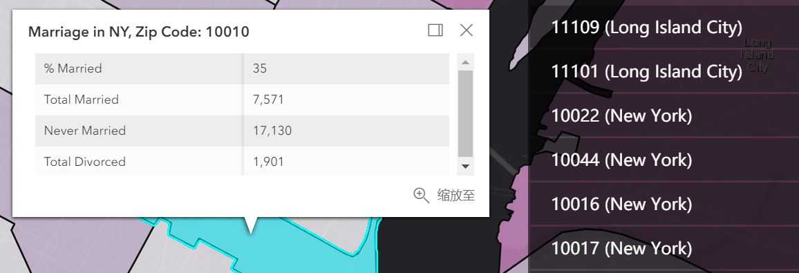
var popupTemplate = {
title: "Marriage in NY, Zip Code: {ZIP}",
content: [{
type: "fields",
fieldInfos: [{
fieldName: "MARRIEDRATE",
label: "% Married",
format: {
places: 0,
digitSeparator: true
}
}, {
fieldName: "MARRIED_CY",
label: "Total Married",
format: {
places: 0,
digitSeparator: true
}
}, {
fieldName: "NEVMARR_CY",
label: "Never Married",
format: {
places: 0,
digitSeparator: true
}
}, {
fieldName: "DIVORCD_CY",
label: "Total Divorced",
format: {
places: 0,
digitSeparator: true
}
}]
}]
};
// Create the FeatureLayer using the popupTemplate
// 注意:只可以将要素图层写在view的后面,然后add到map中去,不然popup根本不会出现
var featureLayer = new FeatureLayer({
url: "https://services.arcgis.com/V6ZHFr6zdgNZuVG0/ArcGIS/rest/services/NYCDemographics1/FeatureServer/0",
outFields: ["*"],
popupTemplate: popupTemplate
});
map.add(featureLayer);
//=====================================================================================
var graphics;
view.whenLayerView(featureLayer).then(function(layerView) { //只有当要素图层加载完毕之后才可以进行下面的步骤
layerView.watch("updating", function(value) { //而且还要等待所有的数据加载完毕,尤其是对大型数据
if (!value) { // wait for the layer view to finish updating
// query all the features available for drawing.
layerView.queryFeatures({
geometry: view.extent,
returnGeometry: true
}).then(function(results) {
graphics = results.features;
var fragment = document.createDocumentFragment();
graphics.forEach(function(result, index) {
var attributes = result.attributes;
var name = attributes.ZIP + " (" +
attributes.PO_NAME + ")"
// Create a list zip codes in NY
var li = document.createElement("li");
li.classList.add("panel-result"); //改变样式用
li.tabIndex = 0;
li.setAttribute("data-result-id", index); //定位用
li.textContent = name; //显示文字用
fragment.appendChild(li);
});
// Empty the current list
listNode.innerHTML = "";
listNode.appendChild(fragment);
}).catch(function(error) {
console.error("query failed: ", error);
});
}
});
});
// listen to click event on the zip code list
listNode.addEventListener("click", onListClickHandler);
function onListClickHandler(event) {
var target = event.target;
var resultId = target.getAttribute("data-result-id");
// get the graphic corresponding to the clicked zip code
var result = resultId && graphics && graphics[parseInt(resultId,
10)];
if (result) {
// open the popup at the centroid of zip code polygon
// and set the popup‘s features which will populate popup content and title.
view.goTo(result.geometry.extent.expand(2))
.then(function() {
view.popup.open({
features: [result],
location: result.geometry.centroid
});
});
}
}
});
</script>
</head>
<body>
<div class="panel-container">
<div class="panel-side">
<h2>Marriage in NY by Zip</h2>
<ul id="nyc_graphics">
<li>Loading…</li>
</ul>
</div>
<div id="sceneDiv"></div>
</div>
</body>
</html>
Query features from a FeatureLayerView
标签:ons failed dex https erro cat arcgis handler str
原文地址:https://www.cnblogs.com/GIS-Yangol/p/10198979.html